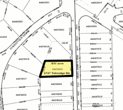
The lot and block survey system is a method used in the United States and Canada to locate and identify land, particularly for lots in densely populated metropolitan areas, suburban areas and exurbs. It is sometimes referred to as the recorded plat survey system or the recorded map survey system.[1]