| Louisiana Purchase State Park | |
|---|---|
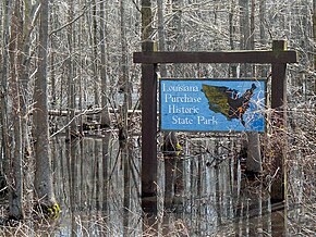
 Louisiana Purchase State Park sign at the boardwalk | |
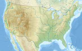
| Location | Eastern Arkansas |
| Nearest city | Brinkley, Arkansas |
| Coordinates | 34°38′44.455″N 91°03′07.337″W / 34.64568194°N 91.05203806°W |
| Area | 37.5 acres (15.2 ha) |
| Established | 1961 |
| Governing body | Arkansas Department of Parks, Heritage, and Tourism |
| Website | Louisiana Purchase State Park |
| Official name | Louisiana Purchase Survey Marker |
| Designated | February 23, 1972 |
| Reference no. | 72000206 |
| Official name | Beginning Point of the Louisiana Purchase Land Survey |
| Designated | April 19, 1993 |
The Louisiana Purchase State Park, located in eastern Arkansas, commemorates the initial point from which public lands acquired through the 1803 Louisiana Purchase were subsequently surveyed.
The Louisiana Purchase State Park encompasses 37.5 acres (15.2 ha) of forested wetlands, a landform which is regionally in decline due to agricultural development practices that include draining such areas. On the survey point is a 6-foot (1.8 m) marker erected in 1926 by the L'Anguille Chapter, Daughters of the American Revolution (D.A.R.), of Marianna, Arkansas. It was listed on the National Register of Historic Places in 1972 and then designated as a National Historic Landmark in 1993.[1]
