| Low Fell | |
|---|---|
 Low Fell from Thackthwaite | |
| Highest point | |
| Elevation | 423 m (1,388 ft) |
| Prominence | c. 270 m |
| Parent peak | High Stile |
| Listing | Wainwright, Marilyn |
| Coordinates | 54°35′28″N 3°20′13″W / 54.59119°N 3.33707°W |
| Geography | |
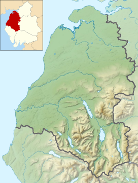
Location in the Lake District National Park | |
| Location | Cumbria, England |
| Parent range | Lake District, Western Fells |
| OS grid | NY137226 |
| Topo map | OS Landranger 89, Explorer OL4 |
Low Fell is a fell in the English Lake District. It overlooks the lake of Loweswater to the south and to the north is bordered by its neighbour Fellbarrow. It is usually climbed from the villages of Loweswater or Thackthwaite. The fell is largely occupied by grassed enclosures, although there are some rocky outcrops near the top. Low Fell has fairly steep slopes to the south and east.

