| Lower Monumental Dam | |
|---|---|
 View from the southwest | |
Location in Washington | |
| Country | United States |
| Location | Franklin and Walla Walla counties, Washington |
| Coordinates | 46°33′47″N 118°32′20″W / 46.563°N 118.539°W |
| Construction began | June 1961 |
| Opening date | 1969 |
| Operator(s) | U.S. Army Corps of Engineers |
| Dam and spillways | |
| Type of dam | Concrete gravity, run-of-the-river |
| Impounds | Snake River |
| Height | 100 feet (30 m) |
| Length | 3,791 feet (1,155 m) |
| Spillway type | Service, gate-controlled |
| Reservoir | |
| Creates | Lake Herbert G. West |
| Total capacity | 432,000 acre⋅ft (0.53 km3)[1] |
| Surface area | 6,590 acres (26.7 km2) |
| Normal elevation | 540 ft (165 m) |
| Power Station | |
| Turbines | 6 x 135-153 MW[2] |
| Installed capacity | 810 MW 932 MW (max) |
 | |
Lower Monumental Lock and Dam is a hydroelectric, concrete, run-of-the-river dam in the northwest United States. Located on the lower Snake River in southeast Washington, it bridges Franklin and Walla Walla counties;[3][4] it is six miles (10 km) south of Kahlotus and 43 miles (70 km) north of Walla Walla.

Construction began in June 1961, and the main structure and three generators were completed 55 years ago in 1969, with an additional three generators finished in 1981. Generating capacity is 810 megawatts, with an overload capacity of 932 MW. The spillway has eight gates and is 572 feet (174 m) in length.
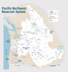
Built and operated by the U.S. Army Corps of Engineers, Lower Monumental Dam is part of the Columbia River Basin system of dams.
Behind the dam, Lake Herbert G. West is the reservoir; it extends 28 miles (45 km) east to the base of Little Goose Dam. Lake Sacajawea, formed from Ice Harbor Dam, runs 22 miles (35 km) southwest, downstream from the base of the dam.
- Navigation lock
- Single-lift
- Width: 86 ft (26 m)
- Length: 666 ft (203 m)
- ^ "The Four Lower Snake River Dams". Bluefish.org. Retrieved 17 July 2010.
- ^ "Lower Monumental Dam". Washington.edu. Retrieved 17 July 2010. [dead link]
- ^ "Lower Monumental Dam". Lewiston Morning Tribune. (photo). March 19, 1964. p. 13.
- ^ "The Columbia River System Inside Story" (PDF). BPA.gov. pp. 14–15. Archived from the original (PDF) on 27 May 2010. Retrieved 17 July 2010.

