Lower Salem, Ohio | |
|---|---|
 Village Hall on Main Street | |
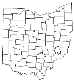
 Location of Lower Salem, Ohio | |
 Location of Lower Salem in Washington County | |
| Coordinates: 39°33′48″N 81°23′39″W / 39.56333°N 81.39417°W | |
| Country | United States |
| State | Ohio |
| County | Washington |
| Government | |
| • Mayor | Jared Lowe [1] |
| Area | |
| • Total | 0.06 sq mi (0.16 km2) |
| • Land | 0.06 sq mi (0.15 km2) |
| • Water | 0.00 sq mi (0.01 km2) |
| Elevation | 696 ft (212 m) |
| Population (2020) | |
| • Total | 75 |
| • Density | 1,271.19/sq mi (493.25/km2) |
| Time zone | UTC-5 (Eastern (EST)) |
| • Summer (DST) | UTC-4 (EDT) |
| ZIP code | 45745 |
| Area code | 740 |
| FIPS code | 39-45220[4] |
| GNIS feature ID | 2399196[3] |
Lower Salem is a village in Washington County, Ohio, United States. The population was 75 at the 2020 census.
- ^ http://www.pwc.state.oh.us/Documents/Agreements/agrCU19T.pdf [bare URL PDF]
- ^ "ArcGIS REST Services Directory". United States Census Bureau. Retrieved September 20, 2022.
- ^ a b U.S. Geological Survey Geographic Names Information System: Lower Salem, Ohio
- ^ "U.S. Census website". United States Census Bureau. Retrieved January 31, 2008.