| Luera Mountains | |
|---|---|
Luera Mountains in New Mexico | |
| Highest point | |
| Peak | Luera Peak, Luera Mountains |
| Elevation | 9,420 ft (2,870 m) |
| Coordinates | 33°49′35″N 107°52′39″W / 33.826449°N 107.877548°W |
| Dimensions | |
| Length | 15 mi (24 km) (NNW-SSE) |
| Width | 15 mi (24 km) (circular) |
| Geography | |
| Country | United States |
| State | New Mexico |
| Region | Continental Divide of the Americas |
| District | Catron County NM |
| Settlements | Datil, NM and Old Horse Springs, NM |
| Range coordinates | 33°49′35″N 107°52′39″W / 33.826449°N 107.877548°W |
| Borders on | Plains of San Agustin and Black Range |
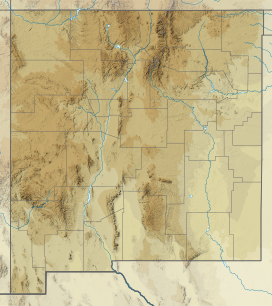
The Luera Mountains are a 15 mi (24 km) long, mountain range in southeast Catron County, New Mexico, USA in the central-southeast of the Plains of San Agustin. The range abuts the northwest end of the north-south extensive Black Range where the Continental Divide of the Americas traverses the Black Range's ridgeline.
The Continental Divide traverses the southern foothills of the Luera Mountains from west-to-east then turns south into the Black Range. The Continental Divide National Scenic Trail is further south of the water divide in the Luera's, then meets the Continental Divide in the Black Range.
