| MacDonnell Ranges | |
|---|---|
 Glen Helen Gorge in the MacDonnell Ranges | |
| Highest point | |
| Peak | Mount Zeil |
| Elevation | 1,531 m (5,023 ft) AHD |
| Coordinates | 23°22′59″S 132°22′59″E / 23.38306°S 132.38306°E |
| Dimensions | |
| Length | 644 km (400 mi) E/W |
| Naming | |
| Etymology | Sir Richard MacDonnell |
| Native name | Tjoritja (Arrernte language) |
| Geography | |
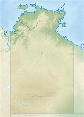
Location of the MacDonnell Ranges in the Northern Territory | |
| Country | Australia |
| Territory | Northern Territory |
| Region | Alice Springs |
| Range coordinates | 23°42′S 132°30′E / 23.700°S 132.500°E |
| Geology | |
| Rock age | Carboniferous |
| MacDonnell Ranges Northern Territory | |||||||||||||||
|---|---|---|---|---|---|---|---|---|---|---|---|---|---|---|---|
 The interim Australian bioregions, with the MacDonnell Ranges in red | |||||||||||||||
| Area | 39,294 km2 (15,171.5 sq mi) | ||||||||||||||
| |||||||||||||||
The MacDonnell Ranges, or Tjoritja in Arrernte, is a mountain range located in southern Northern Territory. MacDonnell Ranges is also the name given to an interim Australian bioregion broadly encompassing the mountain range, with an area of 3,929,444 hectares (9,709,870 acres).[1][2] The range is a 644 km (400 mi) long series of mountains in central Australia, consisting of parallel ridges running to the east and west of Alice Springs. The mountain range contains many spectacular gaps and gorges as well as areas of Aboriginal significance.
The ranges were named after Sir Richard MacDonnell (the Governor of South Australia at the time) by John McDouall Stuart, whose 1860 expedition reached them in April of that year. The Horn Expedition investigated the ranges as part of the scientific expedition into central Australia. Other explorers of the range included David Lindsay and John Ross.
The MacDonnell Ranges were often depicted in the paintings of Albert Namatjira.[3]
- ^ Environment Australia. "Revision of the Interim Biogeographic Regionalisation for Australia (IBRA) and Development of Version 5.1 - Summary Report". Department of the Environment and Water Resources, Australian Government. Archived from the original on 5 September 2006. Retrieved 31 January 2007.
- ^ IBRA Version 6.1 Archived 2006-09-08 at the Wayback Machine data
- ^ Joanne Lane (5 September 2009). "Drawn by a legend". theage.com.au. Fairfax Digital. Retrieved 17 November 2009.
