Mae Wang
แม่วาง | |
|---|---|
 Tung flags inside a temple in Mae Wang | |
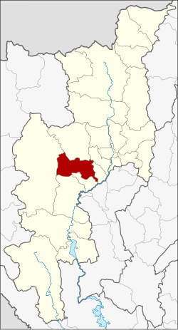
 District location in Chiang Mai province | |
| Coordinates: 18°36′45″N 98°46′30″E / 18.61250°N 98.77500°E | |
| Country | Thailand |
| Province | Chiang Mai |
| Seat | Ban Kat |
| Area | |
• Total | 601.680 km2 (232.310 sq mi) |
| Population (2005) | |
• Total | 30,871 |
| • Density | 51.3/km2 (133/sq mi) |
| Time zone | UTC+7 (ICT) |
| Postal code | 50360 |
| Geocode | 5022 |
Mae Wang (Thai: แม่วาง, pronounced [mɛ̂ː wāːŋ]) is a district (amphoe) in the central part of Chiang Mai province in northern Thailand. The largest settlement and administrative seat of Mae Wang is Ban Kad, a satellite town of Chiang Mai. Across Mae Wang district, the ethnic Hill Tribe people are more present than in other parts of Thailand. Groups with large populations in the district include the Karen people, Hmong and Akha peoples. In the lowlands near Ban Kad Thai people are more common, and as elevations increase on the Western slopes of Doi Inthanon, ethnic minorities become more common. Past Mae Sa Pok, on Rural Road 1013, The villages are almost exclusively Karen, with Hmong people living in higher elevations.