Native name: Djarmai | |
|---|---|
 | |
 | |
| Geography | |
| Location | Atlantic Ocean |
| Coordinates | 15°13′N 23°10′W / 15.217°N 23.167°W |
| Area | 274.5 km2 (106.0 sq mi) |
| Length | 24.1 km (14.98 mi) |
| Width | 16.3 km (10.13 mi) |
| Highest elevation | 436 m (1430 ft) |
| Highest point | Monte Penoso |
| Administration | |
| Municipality | Maio |
| Largest settlement | Porto Inglês |
| Demographics | |
| Demonym | Maiense |
| Population | 6980 (2015) |
| Pop. density | 25.4/km2 (65.8/sq mi) |
| Additional information | |
| Official website | www |
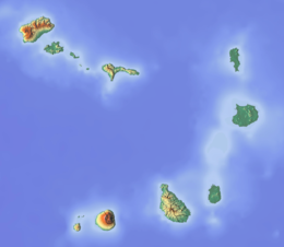
Maio is the easternmost of the Sotavento islands of Cape Verde. Maio is located south of the island of Boa Vista and east of Santiago. Administratively, the island forms one concelho (municipality): Maio.

