| Malad River | |
|---|---|
| Location | |
| Country | United States |
| State | Utah, Idaho |
| Counties | Box Elder County, Utah, Oneida County, Idaho |
| Physical characteristics | |
| Source | Big Malad Spring |
| • location | northwest of Malad City, Oneida County, Idaho |
| • coordinates | 42°13′18″N 112°21′54″W / 42.22167°N 112.36500°W[2] |
| • elevation | 4,728 ft (1,441 m)[2] |
| Mouth | Bear River |
• location | south of Bear River City, Box Elder County, Utah |
• coordinates | 41°35′10″N 112°07′03″W / 41.58611°N 112.11750°W[1] |
• elevation | 4,222 ft (1,287 m)[1] |
| Length | 97 mi (156 km)[3] |
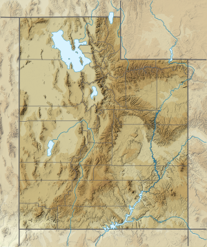
The Malad River is a 97-mile long (156 km)[3] tributary of the Bear River in southeastern Idaho and northern Utah in the western United States.
- ^ a b "Malad River". Geographic Names Information System. United States Geological Survey, United States Department of the Interior. December 31, 1979. Retrieved July 22, 2013.
- ^ a b "Big Malad Spring". Geographic Names Information System. United States Geological Survey, United States Department of the Interior. June 21, 1979. Retrieved July 22, 2013.
- ^ a b "National Hydrography Dataset". United States Geological Survey. Retrieved July 22, 2013.

