Manfredonia | |
|---|---|
| Comune di Manfredonia | |
 Basilica of Siponto | |
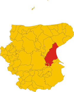
 Manfredonia within the Province of Foggia | |
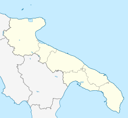
| Coordinates: 41°38′N 15°55′E / 41.633°N 15.917°E | |
| Country | Italy |
| Region | Apulia |
| Province | Foggia (FG) |
| Frazioni | Borgo Mezzanone, Riviera Sud (Sciali and Ippocampo), Pastini, Ruggiano, San Salvatore, Siponto, Tomaiuolo |
| Government | |
| • Mayor | Domenico La Marca (Partito Democratico) |
| Area | |
• Total | 354.54 km2 (136.89 sq mi) |
| Elevation | 5 m (16 ft) |
| Population (30 November 2017)[2] | |
• Total | 56,932 |
| • Density | 160/km2 (420/sq mi) |
| Demonym(s) | Manfredoniani, Sipontini |
| Time zone | UTC+1 (CET) |
| • Summer (DST) | UTC+2 (CEST) |
| Postal code | 71043 |
| Dialing code | 0884 |
| Patron saint | Saint Laurence of Siponto (San Lorenzo Maiorano) |
| Saint day | 7 February |
| Website | Official website |
Manfredonia (Italian: [maɱfreˈdɔːnja]) is a town and commune of Apulia, Italy, in the province of Foggia, from which it is 35 kilometres (22 miles) northeast by rail. Manfredonia is situated on the coast, facing east, to the south of Monte Gargano, and gives its name to the gulf to the east of it. As of 2017[update] its population was 56,932.[3]
- ^ "Superficie di Comuni Province e Regioni italiane al 9 ottobre 2011". Italian National Institute of Statistics. Retrieved 16 March 2019.
- ^ All demographics and other statistics from the Italian statistical institute (Istat)
- ^ (in Italian) Source: Archived 2012-02-25 at the Wayback Machine Istat 2011


