| Manusela National Park | |
|---|---|
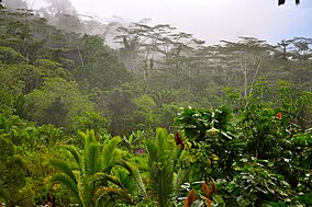
 The jungle of Manusela National Park | |
| Location | Maluku, Indonesia |
| Nearest city | Ambon |
| Coordinates | 3°3′S 129°26′E / 3.050°S 129.433°E |
| Area | 1,890 km2 |
| Established | 1997 |
| Governing body | Ministry of Forestry |
Manusela National Park is located on Seram island, in the Maluku archipelago of Indonesia. It is made up of coastal forest, swamp forest, lowland and montane rainforest ecosystem types. Mount Binaiya at 3,027 meters, is the highest of the park's six mountains. Seram is remarkable for its high degree of localised bird endemism.[1] The park also includes important karst landscapes. On Mount Hatu Saka, near the coast of Saleman-Sawai, it is the Goa Hatusaka, currently the deepest cave of the whole Indonesia.[2][3]
- ^ BirdLife International: Saving Asia's threatened birds Archived 2010-11-30 at the Wayback Machine, 2003, retrieved 18 May 2010
- ^ "Cave and Karst Prospecting within Seram Island".
- ^ "Seram 2015_Sapalewa Underground River".
