| Maple Creek | |
|---|---|
 Maple Creek | |
| Location | |
| Country | |
| Provinces | |
| Physical characteristics | |
| Source | Cypress Hills |
| • location | RM of Maple Creek No. 111 |
| • coordinates | 49°43′35″N 109°20′26″W / 49.7265°N 109.3405°W |
| • elevation | 1,221 m (4,006 ft) |
| Mouth | Bigstick Lake |
• location | RM of Big Stick No. 141 |
• coordinates | 50°14′27″N 109°23′59″W / 50.2409°N 109.3996°W |
• elevation | 702 m (2,303 ft) |
| Basin features | |
| River system | Bigstick Lake endorheic basin |
| Tributaries | |
| • left | Flemming Creek, Gap Creek |
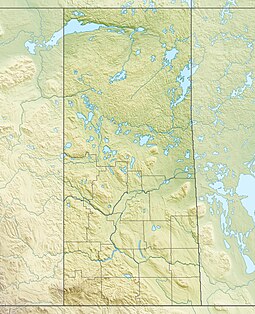
Maple Creek[1] is a river in the south-west region of the Canadian province of Saskatchewan. The river is in the semi-arid region known as Palliser's Triangle. It begins in the Cypress Hills and flows generally in a northward direction and empties into the endorheic Bigstick Lake.[2] The town of Maple Creek is the only notable community along the course of the river. Due to the generally dry and drought-prone conditions of the area, reservoirs were built along the river's course and in its watershed to ensure a stable water supply for irrigation. Two Important Bird Areas (IBA) of Canada cover much of the lower watershed of the river.
- ^ "Maple Creek". Canadian Geographical Names Database. Government of Canada. Retrieved 21 February 2023.
- ^ "Bigstick Lake". Canadian Geographical Names Database. Government of Canada. Retrieved 21 February 2023.

