This article may require cleanup to meet Wikipedia's quality standards. The specific problem is: Poor grammar and formatting inconsistent with the rest of Wikipedia. (January 2017) |

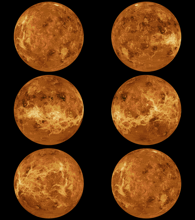
The mapping of Venus refers to the process and results of human description of the geological features of the planet Venus. It involves surface radar images of Venus, construction of geological maps, and the identification of stratigraphic units, volumes of rock with a similar age.
Satellite radar provides imagery of the surface morphology by using the physical properties of wave reflection. Long wavelength microwaves are used to penetrate the thick, cloudy atmosphere of Venus and reach to the surface. Different surface features reflect waves with different strengths of signal, producing images from which the maps are constructed.
After collection of the images of the Venusian surface, scientists started to map and identify different geologic materials and units according to distinctive surface features. Different groups of scientists analyzed different mapping areas, schemes and interpretation of features observed, to produce a classification of the units and comparison of their mapping.