| Marikina River Park | |
|---|---|
 Marikina River Park | |
| Type | Urban Park |
| Location | 300 Shoe Ave, Santo Niño, Marikina, Philippines |
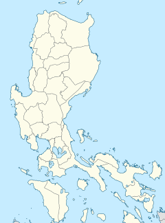
| Coordinates | 14°37′47″N 121°5′3″E / 14.62972°N 121.08417°E |
| Area | 220 hectares (540 acres) |
| Created | 1993 |
| Administered by | Marikina River Park Authority |
| Public transit access | |
| Website | www |
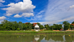
The Marikina River Park is a system of parks, trails, open spaces and recreation facilities along an 11-kilometer (6.8 mi) stretch of the Marikina River in Marikina, eastern Metro Manila, Philippines. The urban riverside park covers an area of 220 hectares (540 acres) running through the villages of Santo Niño, Santa Elena, Jesus de la Peña, San Roque, Calumpang, Barangka and Industrial Valley Complex in the western part of the city. The park, under development since 1993, is the city's biggest recreational and sports area containing the Riverbanks Center, a mall and office complex, and the biggest roller skating rink in the Philippines.[1] It is a popular area for camping, jogging, biking and other outdoor activities not just for Marikina residents but also for those from nearby cities in Metro Manila.
- ^ "Flood Disaster Mitigation and River Rehabilitation by Marikina City, Philippines" (PDF). Asian Disaster Preparedness Center. Retrieved October 22, 2015.


