This article needs additional citations for verification. (June 2024) |
| Mashapaug Lake | |
|---|---|
 Bigelow Hollow State Park looking north from the southern shore of Mashapaug Lake at sunset. | |
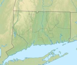
| Location | Union, CT, United States |
| Coordinates | 42°01′00″N 72°08′00″W / 42.0167°N 72.1333°W |
| Type | Reservoir[1] |
| Primary inflows | Wells Brook, several intermittent streams |
| Primary outflows | Bigelow Brook |
| Basin countries | United States (Connecticut and Massachusetts) |
| Max. length | 1.67 mi (2.69 km) approx. |
| Max. width | 0.57 mi (0.92 km) approx. |
| Surface area | 297 acres (120 ha) |
| Average depth | 15 ft (4.6 m) |
| Max. depth | 39.5 ft (12.0 m) |
| Water volume | 1.45 billion US gallons (5.5 Gl) |
| Surface elevation | 706 ft (215 m) |
| Frozen | December through March (most winters) |
| Islands | Several |
Mashapaug Lake is a 297-acre (1.20 km2) lake surrounded by Bigelow Hollow State Park and Nipmuck State Forest in the town of Union in northeastern Connecticut. The lake has a maximum depth of 39.5 feet (12.0 meters), and an average depth of 15 feet (4.6 meters). Its normal surface elevation is 706 feet (215 m). The lake is very popular with fishermen and boaters from the area, and can also be used for swimming.[2]
- ^ U.S. Geological Survey Geographic Names Information System: Mashapaug Lake
- ^ Cite error: The named reference
:0was invoked but never defined (see the help page).
