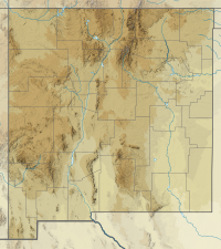
| Massacre Peak | |
|---|---|
| Highest point | |
| Elevation | 5,667 ft (1,727 m) NGVD 29[1] |
| Coordinates | 32°26′41″N 107°40′30″W / 32.444808°N 107.6750279°W[2] |
| Geography | |
| Location | Luna County, New Mexico, U.S. |
| Parent range | Cookes Range |
| Topo map | USGS Massacre Peak |
Massacre Peak, a summit at an elevation of 5,667 feet (1,727 m) in the Cookes Range in Luna County, New Mexico.
- ^ "Massacre Peak". ListsOfJohn.com. Retrieved 2014-02-13.
- ^ "Massacre Peak". Geographic Names Information System. United States Geological Survey, United States Department of the Interior. Retrieved 2014-02-13.
