| Mathikettan Shola National Park | |
|---|---|
 | |
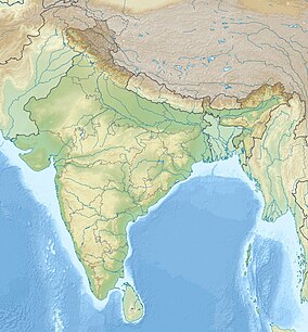
| Location | Pethotty, Idukki, Kerala, India |
| Nearest city | Munnar |
| Coordinates | 10°02′N 77°08′E / 10.033°N 77.133°E |
| Area | 12.82 km2 (4.95 sq mi) |
| Established | 21 November 2003 |
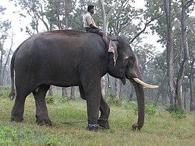
Mathikettan Shola National Park is a 12.82 km2 national park in Poopara village of Udumbanchola taluk in Idukki district of India's Kerala state. It was notified as a national park on 21 November 2003.[1] Considering the unique nature of the shola forest in Mathikettan and its importance as an elephant strip, the state government has declared it as a National park in 2008. Central government has notified its area varying from zero to one kilometre around the boundary as eco sensitive zone. The park is located between other reserve forests like Eravikulam National Park and Pampadam Shola National Park.[2]
There are 2 viewing centre called Njandaar mettu and Uchilukuth mettu.
- ^ Mathikettan Shola National Park Kerala Forests and Wildlife Department, 2009
- ^ "Mathikettan Shola National Park complete detail – updated". NatureConservation.in. 18 March 2020. Retrieved 10 July 2021.
