| Maymandzhin Range | |
|---|---|
| Майманджинский хребет | |
 Southern slopes of the range near Atka | |
| Highest point | |
| Peak | Unnamed |
| Elevation | 1,809 m (5,935 ft)[1] |
| Dimensions | |
| Length | 200 km (120 mi) NW/SE |
| Width | 40 km (25 mi) NE/SW |
| Geography | |
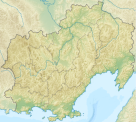
Location in Magadan Oblast, Russia | |
| Country | Russia |
| Federal subject | Magadan Oblast |
| District | Khasynsky District Olsky District |
| Range coordinates | 61°0′N 152°0′E / 61.000°N 152.000°E[2] |
| Parent range | Kolyma Highlands, East Siberian System |
| Geology | |
| Orogeny | Alpine orogeny |
| Climbing | |
| Easiest route | From Atka or Talaya |
The Maymandzhin Range (Russian: Майманджинский хребет) is a mountain range in Magadan Oblast, Far Eastern Federal District, Russia.[2][3]
One of the possible routes of the projected Lena-Kamchatka railway line is across the Maymandzhin Range.[4][5]
- ^ Cite error: The named reference
STMwas invoked but never defined (see the help page). - ^ a b Google Earth
- ^ Конгинский хребет, Great Soviet Encyclopedia in 30 vols. / Ch. ed. A.M. Prokhorov – 3rd ed. – M, 1969-1978. (in Russian)
- ^ Ленско-Камчатская железнодорожная магистраль для территории опережающего развития (in Russian)
- ^ Забытым путем (in Russian)

