Mazamitla | |
|---|---|
Municipality and town | |
 | |
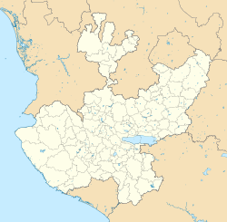
 Location of the municipality in Jalisco | |
| Coordinates: 19°54′55″N 103°01′15″W / 19.91528°N 103.02083°W | |
| Country | |
| State | |
| Area | |
| • Total | 288.9 km2 (111.5 sq mi) |
| • Town | 4.32 km2 (1.67 sq mi) |
| Population (2020 census)[1] | |
| • Total | 14,043 |
| • Density | 49/km2 (130/sq mi) |
| • Town | 8,142 |
| • Town density | 1,900/km2 (4,900/sq mi) |
| Time zone | UTC-6 (Central Standard Time) |
| • Summer (DST) | UTC-5 (Central Daylight Time) |
| Website | Official site |
Mazamitla (Spanish: [masa'mitla] ) is a town and municipality of the Mexican state of Jalisco. It is located 124 km south of Guadalajara in the Southeast Region and is a popular resort destination for travelers from Guadalajara and nearby urban centers. Its name comes from the Nahuatl and means "place where arrows are made to hunt deer"; its area is 288.9 km2. According to Count II Population and Housing, the municipality has 11671 inhabitants who are devoted mainly to the tertiary sector. For its natural environment is considered by the federal Secretariat of Tourism as a Pueblo Mágico.
- ^ Citypopulation.de Population of Mazamitla municipality with localities


