| McCurtain County Wilderness Area | |
|---|---|
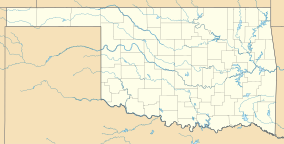
Map of Oklahoma | |
| Location | McCurtain County, Oklahoma |
| Nearest city | Broken Bow |
| Coordinates | 34°17′45″N 94°38′27″W / 34.29583°N 94.64083°W |
| Area | 14,087 acres (5,701 ha) |
| Governing body | Oklahoma Department of Wildlife Conservation |
| www | |
| Designated | 1974 |
The McCurtain County Wilderness Area is a 14,087 acres (5,701 ha) wilderness nature preserve 25 miles (40 km) north of Broken Bow, Oklahoma. It has been owned by the Oklahoma Department of Wildlife Conservation.[1] It was designated a National Natural Landmark in December 1974 for its excellent example of a xeric upland oak-pine forest.[2]
- ^ "McCurtain County Wilderness Area". Oklahoma Department of Wildlife Conservation. Retrieved 26 March 2019.
- ^ "National Natural Landmarks - National Natural Landmarks (U.S. National Park Service)". www.nps.gov. Retrieved 2019-03-26.
There are three National Natural Landmark sites located within the state of Oklahoma.
