| Mellbreak | |
|---|---|
 Mellbreak seen from Grasmoor summit. Three km to the east. | |
| Highest point | |
| Elevation | 512 m (1,680 ft) |
| Prominence | 260 m (850 ft) |
| Parent peak | High Stile |
| Listing | Marilyn, Wainwright |
| Coordinates | 54°33′20″N 3°19′08″W / 54.55544°N 3.31889°W |
| Geography | |
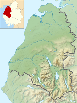
Location in the Lake District National Park | |
| Location | Cumbria, England |
| Parent range | Lake District, Western Fells |
| OS grid | NY148186 |
| Topo map | OS Landranger 89, Explorer OL4 |
Mellbreak is a hill in the Western part of the English Lake District. Despite being surrounded on all sides by higher fells (the Loweswater Fells, the High Stile Ridge and the Grasmoor Group), it stands in isolation. It is surrounded on three sides by a "moat" of deep marshy land, and on the east side by the lake of Crummock Water. The fell forms a partnership with the lake, running parallel to it, falling sheer into it, and regularly providing the backdrop for pictures of it.

