| Mescalero Ridge | |
|---|---|
| (Mescalero Escarpment) | |
 | |
| Highest point | |
| Elevation | 4,462 ft (1,360 m)[1] |
| Prominence | 200 ft (61 m) |
| Coordinates | 33°02′35″N 103°51′13″W / 33.04306°N 103.85361°W[1] |
| Geography | |
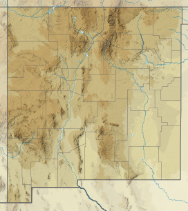
Location in Eastern New Mexico | |
| Geology | |
| Rock age | Quaternary |
| Mountain type | Caliche |
The Mescalero Ridge forms the western edge of the great Llano Estacado, a vast plateau or tableland in the southwestern United States in New Mexico and Texas.[2][3] It is the western equivalent of the Caprock Escarpment, which defines the eastern edge of the Llano Estacado.
- ^ a b "Mescalero Ridge". Geographic Names Information System. United States Geological Survey, United States Department of the Interior.
- ^ Price, A.P. 1977. Mescalero Sandhills of Cochran and Yoakum Counties, Texas. Master's thesis, Texas Tech University, Lubbock, 253 pp.
- ^ Henderson, D. 2006. An Introduction to the Mescalero Sands Ecosystem. Master's thesis, Texas A&M University, 42 pp.
