This article needs additional citations for verification. (May 2014) |
| Milford Lake | |
|---|---|
 | |
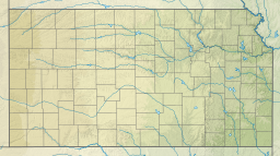
| Location | Geary / Clay / Dickinson counties in Kansas |
| Coordinates | 39°05′00″N 096°53′52″W / 39.08333°N 96.89778°W |
| Type | Reservoir |
| Primary inflows | Republican River |
| Primary outflows | Republican River to Kansas River |
| Basin countries | United States |
| Surface area | 15,700 acres (6,400 ha) |
| Max. depth | 65 ft (20 m)[1] |
| Water volume | 388,000 acre⋅ft (479,000,000 m3) |
| Surface elevation | 1,148 ft (350 m) |
| Settlements | Junction City, Wakefield, Milford |
| References | [2] |
Milford Lake, also known as Milford Reservoir, is the largest man-made lake in Kansas with 15,700 acres (64 km2) of water. Over 33,000 acres (130 km2) of land resources are managed for quality recreational experiences as well as for protection of the project’s natural and cultural resources. Approximately 70% of the land resources are available for public hunting.
- ^ "Milford Reservoir Fishing Information". Kansas Department of Wildlife, Parks and Tourism. Kansas Department of Wildlife, Parks and Tourism. Retrieved 2017-06-13.
- ^ "Milford Dam". Geographic Names Information System. United States Geological Survey, United States Department of the Interior. Retrieved Jan 15, 2021.

