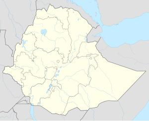
West Imi | |
|---|---|
| Coordinates: 6°27′N 42°08′E / 6.450°N 42.133°E | |
| Country | Ethiopia |
| Region | Somali |
| Zone | Afder |
| Elevation | 442 m (1,450 ft) |
| Population | |
• City | 48,104 |
| • Urban | 7,897 |
| Time zone | UTC+3 (EAT) |
West Imi (Somali: Iimeey Galbeed) is one of the Districts of Afder Zone in the Somali Region of Ethiopia. It is named for the historically significant village, Imi. Part of the Afder Zone, West Imi is bordered on the south by [Elekere, on the west by Raytu district Oromia Region, on the north by the Nogob Zone, and on the northeast by the Shebelle River which separates it from the Shabelle Zone.The major village in Mirab Imi is BUULAA and jiiq and Gabriile and kiliwey it is settled by the ree Abakor. .
The average elevation in this woreda is 459 meters above sea level.[1] As of 2008[update], West Imi has no all-weather gravel road nor any community roads; about 14.2% of the total population has access to drinking water.[2]
The Shebelle River burst its banks in November 2008, and affected 17 kebeles in West Imi, damaging crops on 3,200 hectares of farmland.[3]
- ^ Hailu Ejara Kene, Baseline Survey of 55 Weredas of PCDP Phase II, Part I Archived 2011-07-20 at the Wayback Machine (Addis Ababa: August 2008), Annex 1 (accessed 23 March 2009)
- ^ Hailu Ejara Kene, Baseline Survey, Annexes 16, 17
- ^ "Ethiopia: Thousands displaced by floods in Somali region", IRIN (last accessed 8 December 2008)
