 Viewed from the south-east | |
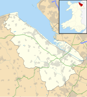
| Location | Near Denbigh, Wales |
|---|---|
| Coordinates | 53°11′4″N 3°16′50″W / 53.18444°N 3.28056°W |
| OS grid reference | SJ 14529 66034 |
| Type | Hillfort |
| Length | 160 metres (520 ft) |
| Width | 140 metres (460 ft) |
| Area | 1.8 hectares (4.4 acres) |
| Height | 455.8 metres (1,495 ft) |
| History | |
| Periods | Iron Age |
Moel Arthur ("Arthur's Hill") is an Iron Age hillfort in Flintshire, Wales, at the boundary with Denbighshire, about 5 miles (8.0 km) east of Denbigh.
It is on a prominent hill, height 455.8 metres (1,495 ft),[1] in the Clwydian Range; it overlooks the Vale of Clwyd to the west. Offa's Dyke Path skirts the hill. It is about 1 mile (1.6 km) south-east of the hillfort of Penycloddiau.
- ^ "Moel Arthur" Hill Bagging. Retrieved 22 August 2019.
