| Moniack Burn Newton Burn | |
|---|---|
 | |
| Native name | Mon-ìothag (Scottish Gaelic) |
| Location | |
| Country | United Kingdom |
| Constituent country | Scotland |
| Physical characteristics | |
| Source | Allt an Daimh Ruaidh |
| • coordinates | 57°23′34″N 4°25′56″W / 57.39278°N 4.43222°W |
| • elevation | 260 m (850 ft) |
| 2nd source | Allt Lon a' Ghiubhais |
| • coordinates | 57°23′42.6″N 4°26′11.5″W / 57.395167°N 4.436528°W |
| • elevation | 260 m (850 ft) |
| Mouth | Beauly Firth |
• coordinates | 57°28′52″N 4°22′45.4″W / 57.48111°N 4.379278°W |
• elevation | 0 m (0 ft) |
| Length | 11.21 km (6.97 mi) |
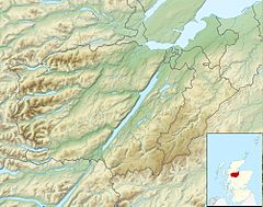
Moniack Burn (Scottish Gaelic: Mon-ìothag, meaning "Burn of the Corn Moss") is a small river in the Highland council area of Scotland. The stream flows from the hills of the Aird, its source near the hamlet of Foxhole, passing the settlements of South Clunes, Easter, and Kirkhill before draining into the Beauly Firth.
