| Mount Batulao | |
|---|---|
 Mount Batulao summit showing its rugged slopes and ridges | |
| Highest point | |
| Elevation | 2,661 ft (811 m)[1][2] |
| Prominence | 2,165 ft (660 m) |
| Listing | List of inactive volcanoes in the Philippines |
| Coordinates | 14°2′42″N 120°48′16″E / 14.04500°N 120.80444°E |
| Geography | |
| Country | Philippines |
| Region | Calabarzon |
| Province | |
| Parent range | Tagaytay Ridge |
| Geology | |
| Rock age | Pliocene[2] |
| Mountain type | Stratovolcano |
| Volcanic arc/belt | Western Bataan Lineament[2] |
| Last eruption | Unknown |
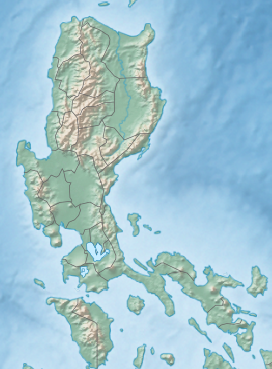
Mount Batulao is an inactive stratovolcano in the Calabarzon region of the Philippines, located in northwest Batangas province along its border with Cavite.[1][3] It is a dissected andesitic stratovolcano at the northwestern rim of the Taal Caldera which began to form in the late Pliocene period, about 3.4 million years ago.[4] The mountain is a prominent landmark of jagged peaks, rolling to rugged ridges and deep gorges situated just west of the hill station of Tagaytay at the southwestern end of the Tagaytay Ridge. It is well known for its scenery, as well as its retreat centers and resorts located just 85 kilometres (53 mi) south of Manila.[3]
- ^ a b "Volcanoes of the Philippines; Inactive Volcanoes (Part 1)". Philippine Institute of Volcanology and Seismology. 30 July 2008. Archived from the original on 24 September 2015. Retrieved 15 August 2019.
- ^ a b c "Inactive Volcano List". Philippine Institute of Volcanology and Seismology. Retrieved 15 August 2019.
- ^ a b Adams, George I. (1910). "Geological Reconnaissance of Southwestern". The Philippine Journal of Science. 5 (2): 57–117. Retrieved 15 August 2019.
- ^ Catane, Sandra G. (2005). Explosive Volcanism in the Philippines. Center for Northeast Asian Studies, Tohoku University. p. 118. ISBN 4901449257.

