| Mount Bellenden Ker | |
|---|---|
 Mount Bellenden Ker summit and aerial cableway from Bruce Highway | |
| Highest point | |
| Elevation | 1,593 m (5,226 ft) |
| Coordinates | 17°15′51″S 145°51′14″E / 17.26417°S 145.85389°E |
| Geography | |
| Location | Queensland, Australia |
| Parent range | Bellenden Ker Range |
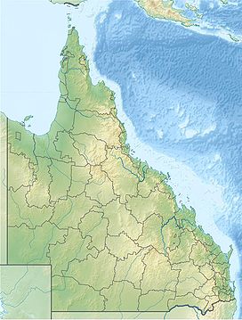
Mount Bellenden Ker is the second-highest mountain in Queensland, Australia, with a height of 1,593 metres (5,226 ft). It is named after the botanist John Bellenden Ker Gawler. Located 39 km (24 mi) south of Cairns, and near Babinda, it is adjacent to Mount Bartle Frere, the state's highest peak, part of the Bellenden Ker Range, also known as the Wooroonooran Range. The two mountains dominate the Josephine Falls section of the Wooroonooran National Park.[1] Both peaks are made of resistant granite and are remnants of an escarpment that has been eroded by the Russell and Mulgrave Rivers.
Several television transmitter towers have been built on the mountain. The only access to the television transmitter site and the mountain top weather station is by a privately owned cable car.[2]
- ^ Shilton, Peter (2005). Natural areas of Queensland. Mount Gravatt, Queensland: Goldpress. p. 74. ISBN 0-9758275-0-2.
- ^ Sarah Elks (30 April 2011). "On top of world, never rains but it pours". The Australia. News Limited. Retrieved 26 June 2011.
