| Mount Chual | |
|---|---|
 Mount Chual seen from the Sierra Azul Open Space Preserve | |
| Highest point | |
| Elevation | 3,562 ft (1,086 m) NGVD 29[1] |
| Coordinates | 37°07′09″N 121°50′05″W / 37.1191139°N 121.8346754°W[2] |
| Geography | |
| Location | Santa Clara County, California, United States |
| Parent range | Santa Cruz Mountains |
| Topo map | USGS Loma Prieta |
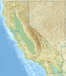
Mount Chual is a prominent peak in the Santa Cruz Mountains in southwest Santa Clara County, California, United States. The landmark lies 10 mi (16 km) west of Morgan Hill, and approximately 0.8 mi (1 km) northeast of Loma Prieta. It is the third highest peak in the Santa Cruz Mountains. Several tributaries to Llagas Creek originate on the southern and eastern flanks of the peak.
- ^ "Mount Chual". ListsOfJohn.com. Retrieved 2017-08-05.
- ^ "Mount Chual". Geographic Names Information System. United States Geological Survey, United States Department of the Interior. Retrieved 2017-08-05.

