| Mount Harriet National Park (Mount Manipur National Park) | |
|---|---|
 Centaur oakblue at Mt. Harriet National Park | |
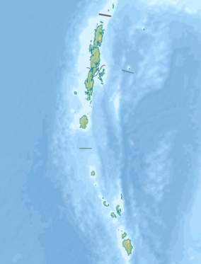
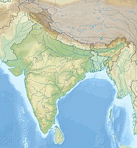
Location in Andaman and Nicobar Islands | |
| Location | Ferrargunj tehsil |
| Nearest city | Port Blair |
| Coordinates | 11°42′59″N 92°44′02″E / 11.71639°N 92.73389°E |
| Area | 46.62 square kilometres (18.00 sq mi) |
| Established | 1979 |
| Governing body | Government of India |
Mount Harriet National Park, officially renamed as Mount Manipur National Park, is a national park located in the Andaman and Nicobar Islands union territory of India.[1] The park, established in 1969, covers about 4.62 km2 (18.00 mi2).[2] Mount Manipur (Mount Harriet) (383 metres (1,257 ft)[3]), which is a part of the park, is the third-highest peak in the Andaman and Nicobar archipelago next to Saddle Peak (732 metres (2,402 ft)) in North Andaman and Mount Thullier (568 metres (1,864 ft)) in Great Nicobar.[4]
The park is named in commemoration of Harriet C. Tytler, the second wife of Robert Christopher Tytler, a British army officer, an administrator, naturalist and photographer, who was appointed Superintendent of the Convict Settlement at Port Blair in the Andamans from April 1862 to February 1864.[5] Harriet is remembered for her work in documenting the monuments of Delhi and for her notes at the time of the Revolt of 1857 in India.[6]

The park's well-known faunal species are Andaman wild pigs (an endangered species), saltwater crocodiles, turtles and robber crabs.[7] The park is also a butterfly hotspot.[3] The picture on the back side of ₹ 20 banknote has been taken at the park.[citation needed]
- ^ "Celebrations in Manipur for renaming Andman's Mount Harriet Park". www.daijiworld.com. Retrieved 2021-10-18.
- ^ Negi 2002, p. 52.
- ^ a b Outlook 2008, p. 38.
- ^ Venkataraman, Raghunathan & Sivaperuman 2012, p. 7.
- ^ "Robert Christopher Tytler". britishempire.co.uk. Retrieved 17 June 2015.
- ^ Dalrymple 2009, p. 443.
- ^ Husain, p. 4.

