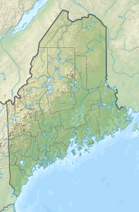
| Mount Kineo | |
|---|---|
 | |
| Highest point | |
| Elevation | 1,789 ft (545 m)[1] |
| Prominence | 750 ft (230 m)[1][2] |
| Listing | List of mountains of Maine |
| Coordinates | 45°41′59″N 69°44′02″W / 45.69972°N 69.73389°W[3] |
| Geography | |
Piscataquis County, Maine, U.S. | |
| Topo map | USGS Mount Kineo |
Mount Kineo is a prominent geological feature located on a 1,150-acre (470 ha) peninsula that extends from the easterly shore of Moosehead Lake in the northern forest of Maine. With 700-foot (210 m) cliffs rising straight up from the water, it is the central feature of Mount Kineo State Park, a protected area of 800 acres (320 ha) managed by the Maine Department of Agriculture, Conservation and Forestry.[4][5]
- ^ a b "Mount Kineo". Peakbagger.com. Retrieved August 22, 2009.
- ^ Key col elevation between 1030 and 1040 feet. See Frog Pond at Peakbagger.org.
- ^ "Mount Kineo". Geographic Names Information System. United States Geological Survey, United States Department of the Interior.
- ^ Cite error: The named reference
dacfwas invoked but never defined (see the help page). - ^ Cite error: The named reference
dacf2was invoked but never defined (see the help page).
