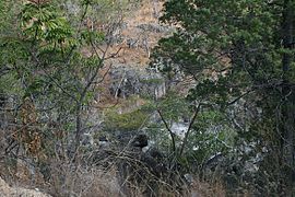
| Mount Lewis National Park Queensland | |
|---|---|
 | |
| Nearest town or city | Julatten |
| Coordinates | 16°30′35″S 145°13′22″E / 16.50972°S 145.22278°E |
| Established | 2009 |
| Area | 278.6 km2 (107.6 sq mi) |
| Managing authorities | Queensland Parks and Wildlife Service |
| Website | Mount Lewis National Park |
| See also | Protected areas of Queensland |
Mount Lewis National Park is national park in both the Shire of Mareeba and Douglas Shire of Far North Queensland, Australia. It is adjacent to both Daintree National Park and Mount Spurgeon National Park. It is part of the Wet Tropics of Queensland and Einasleigh Uplands bioregions.[1] The park lies within the catchment areas of the Mitchell River, Mossman River and Daintree Rivers. Mount Lewis National Park preserves part of the Mount Carbine Tableland.
In 2009, Mount Lewis Forest Reserve and Riflemead Forest Reserve were combined to form Mount Lewis National Park.[2] The landscape is mountainous and covered by forest. About half of 1% of the national park is classed as wetlands.[1]
- ^ a b "Mount Lewis National Park". WetlandInfo. Department of Environment and Heritage Protection. Retrieved 29 August 2014.
- ^ Cite error: The named reference
amlwas invoked but never defined (see the help page).
