| Mount Wilson | |
|---|---|
| Highest point | |
| Elevation | 3,745 ft (1,141 m)[1] |
| Prominence | 200 ft (61 m)[2] |
| Listing | #92 New England 100 Highest |
| Coordinates | 44°00′17″N 072°55′32″W / 44.00472°N 72.92556°W[3] |
| Geography | |
| Country | United States |
| State | Vermont |
| County | Addison |
| Town | Ripton |
| Parent range | Green Mountains |
| Topo map | USGS Lincoln Mountain Quad[4] |
| Climbing | |
| Easiest route | maintained hiking trail |
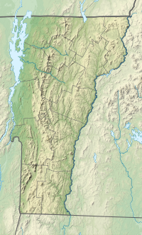
Mount Wilson is a mountain in the Green Mountains in the U.S. state of Vermont. Located in the Breadloaf Wilderness of the Green Mountain National Forest, its summit is in the town of Ripton in Addison County. The mountain is named after Woodrow Wilson, former president of the United States.[5] Flanked by Bread Loaf Mountain to the southwest, Mount Wilson is one of five peaks in Vermont's Presidential Range. At 3,745 feet (1,141 m), it is the 12th highest peak in Vermont and one of the hundred highest peaks in New England.
- ^ Cite error: The named reference
GMC Long Trail mapwas invoked but never defined (see the help page). - ^ Cite error: The named reference
peakbaggerwas invoked but never defined (see the help page). - ^ Cite error: The named reference
GNISwas invoked but never defined (see the help page). - ^ Cite error: The named reference
USGS 1921was invoked but never defined (see the help page). - ^ Cite error: The named reference
Bushnell 2019was invoked but never defined (see the help page).
