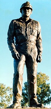
| Moura Queensland | |||||||||||||||
|---|---|---|---|---|---|---|---|---|---|---|---|---|---|---|---|
| Coordinates | 24°34′24″S 149°58′21″E / 24.57333°S 149.97250°E | ||||||||||||||
| Population | 1,993 (2021 census)[1] | ||||||||||||||
| Established | 1936 | ||||||||||||||
| Postcode(s) | 4718 | ||||||||||||||
| Time zone | AEST (UTC+10:00) | ||||||||||||||
| Location |
| ||||||||||||||
| LGA(s) | Banana Shire | ||||||||||||||
| State electorate(s) | Callide | ||||||||||||||
| Federal division(s) | Flynn | ||||||||||||||
| |||||||||||||||
| |||||||||||||||

Moura is a rural town and locality in the Shire of Banana in Central Queensland, Australia.[2][3] It services the surrounding coal mining and rural activities. It is situated approximately 65 kilometres (40 mi) west of Biloela on the Dawson Highway, 186 kilometres (116 mi) west of the port city of Gladstone, and 171 kilometres (106 mi) south west of Rockhampton.
In the 2021 census, the locality of Moura had a population of 1,993 people.[1]
- ^ a b Cite error: The named reference
Census2021was invoked but never defined (see the help page). - ^ "Moura (town) (entry 23219)". Queensland Place Names. Queensland Government. Retrieved 15 May 2014.
- ^ "Moura (locality) (entry 40438)". Queensland Place Names. Queensland Government. Retrieved 15 May 2014.
