This article needs additional citations for verification. (September 2019) |
Muirend
| |
|---|---|
 Sandstone tenement with shops on Clarkston Road | |
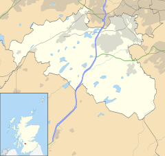
Location within the Glasgow City council area Location within East Renfrewshire Location within Scotland | |
| OS grid reference | NS573600 |
| Community council |
|
| Council area | |
| Lieutenancy area |
|
| Country | Scotland |
| Sovereign state | United Kingdom |
| Post town | GLASGOW |
| Postcode district | G44 3 |
| Dialling code | 0141 |
| Police | Scotland |
| Fire | Scottish |
| Ambulance | Scottish |
| UK Parliament | |
| Scottish Parliament | |
Muirend is an area on the South side of Glasgow, Scotland. It is situated about 4 miles (6.5 km) south of Glasgow city centre. Muirend became extensively urbanised in the 20th century, developing into a commuter suburb. In a 2014 Royal Mail survey, the G44 postcode – which includes Muirend – was rated as the most desirable area of Scotland to live in.[2] Neighbouring areas include Cathcart, Merrylee and Newlands in Glasgow, and Netherlee and Giffnock in East Renfrewshire (plus Cathcart Cemetery which forms the eastern boundary). Some buildings that are locally associated with Muirend, including the main row of shops, as well as Hazelden Park and Muirend Pavilion, are located in East Renfrewshire.
- ^ "Muirend". Ainmean-Àite na h-Alba. Retrieved 5 May 2021.
- ^ G44 is most desirable postcode for Scots to live in, Evening Times, 25 August 2014


