Munsiyari
Munsiari | |
|---|---|
Sub-division | |
|
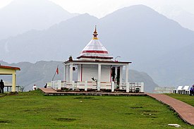
Clockwise from top: A view of the Gori river flowing through Johar Valley, Birthi Falls, as seen from Thal-Munsiyari road, Nanda Devi Temple, View of Panchchuli Peaks and Tribal Heritage Museum. | |
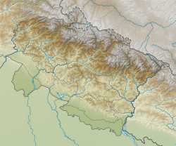
| Coordinates: 30°04′03″N 80°14′19″E / 30.067413°N 80.238562°E | |
| Country | |
| State | Uttarakhand |
| District | Pithoragarh |
| Elevation | 2,200 m (7,200 ft) |
| Languages | |
| • Official | Hindi, Kumaoni |
| Time zone | UTC+5:30 (IST) |
| PIN | 262554 |
| Vehicle registration | UK 05 |
| Website | uk |
Munsyari (Kumaoni: Munsyār) is the name of the sub-division headquarters, a conglomeration of revenue villages and it also refers to the entire region as Munsiyari Tehsil and Sub Division in the Pithoragarh District in the hill-state of Uttarakhand, India.
It is a hill station and lies at the base of the great Himalayan mountain range, at an elevation of about 2,200 m (7,200 ft)[1] and is a starting point of various treks into the interior of the range.
- ^ Garhwal-Himalaya-Ost, 1:150,000 scale topographic map, prepared in 1992 by Ernst Huber for the Swiss Foundation for Alpine Research, based on maps of the Survey of India,


