| Nangpa La (Khumbu La) | |
|---|---|
 Traveling caravan crossing the Nangpa La. The Lunag Ri is in the background. | |
| Elevation | 5,716 m (18,753 ft) |
| Location | Nepal (Khumjung) – China (Tibet) |
| Range | Himalayas |
| Coordinates | 28°06′28″N 86°35′17″E / 28.10778°N 86.58806°E |
| Nangpa La | |||
|---|---|---|---|
| Traditional Chinese | 囊帕拉山口 | ||
| Simplified Chinese | 囊帕拉山口 | ||
| |||
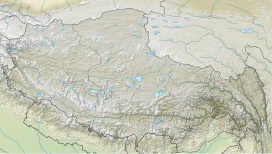
Nangpa La (Chinese: 囊帕拉山口 also known as Chinese: 朗喀巴山口) (el. 5,806 m or 19,050 ft) is a high mountain pass crossing the Himalayas and the Nepal-Tibet Autonomous Region border a few kilometres west of Cho Oyu and some 30 km (20 mi) northwest of Mount Everest.[1] A foot-trail over Nangpa La is the traditional trade and pilgrimage route connecting Tibetans and Sherpas of Khumbu and its historical name was Khumbu La. This was the location of the 2006 Nangpa La shootings.
- ^ Encyclopædia Britannica. "Nangpa-La (pass, Asia)". Retrieved 2009-06-30.

