| Narbona Pass | |
|---|---|
| Washington Pass | |
 Chuska Mountains near Narbona Pass | |
| Elevation | 8,721 ft (2,658 m)[1] |
| Traversed by | |
| Location | San Juan County, New Mexico |
| Coordinates | 36°05′24″N 108°51′36″W / 36.090°N 108.860°W |
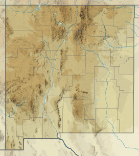
Narbona Pass (formerly Washington Pass) is a pass through the natural break between the Tunicha and Chuska Mountains, an elongated range on the Colorado Plateau on the Navajo Nation. A paved road, New Mexico Highway 134, crosses the range through Narbona Pass, connecting Sheep Springs to Crystal. Contrary to Navajo tradition of not naming monuments after people, the pass was given the name Narbona to celebrate his victory over an invading Mexican army that was sent to destroy the Navajo in 1835. Known in the Navajo Language as So Sila (Twin Stars), the pass was lately named in English for Colonel John M. Washington in 1859. He was a New Mexico military governor who led an expedition into Navajo country in 1849 in which he was accused of walling up a Navajo Spring, and whose troops later shot Navajo leader Narbona.
In 1992 the pass gained its current name, which honors Narbona.[2]
- ^ "Narbona Pass". Placenames.com. Archived from the original on 2013-01-31. Retrieved 2012-08-21.
- ^ Julyan 2006, p. 113.
