| National Highway 309A | ||||
|---|---|---|---|---|
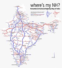
Map of the National Highway in red | ||||
| Route information | ||||
| Length | 126 km (78 mi) | |||
| Major junctions | ||||
| East end | Almora | |||
| West end | Rameshwar | |||
| Location | ||||
| Country | India | |||
| States | Uttarakhand | |||
| Highway system | ||||
| ||||

National Highway 309A, commonly referred to as NH 309A, is a single lane highway connecting the city of Rameshwar to Almora in the Indian State of Uttarakhand.[1] Before the creation of Uttarakhand state in 2000, the Almora-Bageshwar stretch of this Highway was a part of the State Highway 37 of Uttar Pradesh, which ran from Bageshwar to Bareilly.[2]
- ^ "Rationalization of Numbering Systems of National Highways" (PDF). Govt of India. 28 April 2010. Retrieved 21 August 2011.
- ^ "Complete Road_Detail's_SH" (PDF). Public Works Department, Government of Uttar Pradesh. Archived from the original (PDF) on 11 June 2016. Retrieved 23 October 2015.

