| Natural Bridges National Monument | |
|---|---|
IUCN category V (protected landscape/seascape) | |
 | |
| Location | San Juan County, Utah, United States |
| Coordinates | 37°36′05″N 110°00′49″W / 37.6013829°N 110.0137437°W[1] |
| Area | 7,636 acres (30.90 km2)[2] |
| Created | April 16, 1908 |
| Visitors | 101,843 (in 2016)[3] |
| Governing body | National Park Service |
| Website | Natural Bridges National Monument |


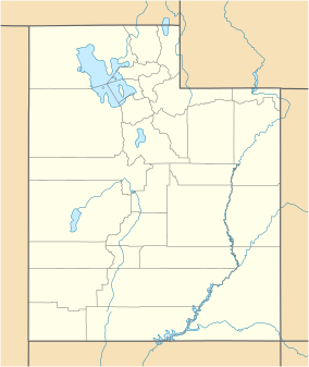
Natural Bridges National Monument is a U.S. National Monument located about 50 miles (80 km) northwest of the Four Corners boundary of southeast Utah, in the western United States, at the junction of White Canyon and Armstrong Canyon, part of the Colorado River drainage. It features the thirteenth largest natural bridge in the world,[4] carved from the white Permian sandstone of the Cedar Mesa Formation that gives White Canyon its name.
The three bridges in the park are named Kachina, Owachomo, and Sipapu (the largest), which are all Hopi names. A natural bridge is formed through erosion by water flowing in the stream bed of the canyon. During periods of flash floods, particularly, the stream undercuts the walls of rock that separate the meanders (or "goosenecks") of the stream until the rock wall within the meander is undercut and the meander is cut off and the new stream bed then flows underneath the bridge. Eventually, as erosion and gravity enlarge the bridge's opening, the bridge collapses under its own weight. There is evidence of at least two collapsed natural bridges within the Monument.
- ^ "Natural Bridges National Monument". Geographic Names Information System. United States Geological Survey, United States Department of the Interior. Retrieved November 1, 2011.
- ^ "Listing of acreage – December 31, 2013" (XLSX). Land Resource Division, National Park Service. Retrieved 2012-05-14. (National Park Service Acreage Reports)
- ^ "NPS Annual Recreation Visits Report". National Park Service. Retrieved 2017-09-29.
- ^ "Sipapu Natural Bridge". Natural Arch and Bridge Society.

