| North Bastion | |
|---|---|
| Part of Fortifications of Gibraltar | |
| Gibraltar | |
 Western façade of the North Bastion | |
 Northern facade of the North Bastion showing its older Spanish and Moorish construction at its base | |
| Coordinates | 36°08′45″N 5°21′10″W / 36.145904°N 5.352799°W |
| Site information | |
| Owner | Government of Gibraltar |
| Open to the public | Yes |
| Site history | |
| Built by | Philip II of Spain |
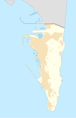
The North Bastion, formerly the Baluarte San Pablo (St. Paul's Bastion) was part of the fortifications of Gibraltar, in the north of the peninsula, protecting the town against attack from the mainland of Spain. The bastion was based on the older Giralda tower, built in 1309. The bastion, with a mole that extended into the Bay of Gibraltar to the west and a curtain wall stretching to the Rock of Gibraltar on its east, was a key element in the defenses of the peninsula. After the British took Gibraltar in 1704 they further strengthened these fortifications, flooding the land in front and turning the curtain wall into the Grand Battery.
Today, the bastion is surrounded by reclaimed land to the west and north. Glacis Road runs along the base of the bastion's former glacis. Smith Dorrien Avenue separates the bastion from the curtain wall, which is still largely intact. The bastion is occupied by the Giralda Gardens and a pétanque club. The Government of Gibraltar has plans to rehabilitate the site as part of a plan to develop the old fortifications as tourist attractions.
