Nuris
نورِِِس Noori[1] | |
|---|---|
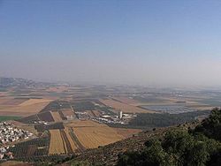
 The Jezreel Valley today | |
| Etymology: from personal name[2] | |
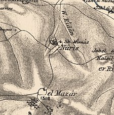
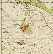
A series of historical maps of the area around Nuris (click the buttons) | |
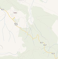
Location within Mandatory Palestine | |
| Coordinates: 32°32′06″N 35°21′49″E / 32.53500°N 35.36361°E | |
| Palestine grid | 184/215 |
| Geopolitical entity | Mandatory Palestine |
| Subdistrict | Jenin |
| Date of depopulation | May 29–30, 1948[5] |
| Area | |
| • Total | 6,256 dunams (6.256 km2 or 2.415 sq mi) |
| Population (1945) | |
| • Total | 570[3][4] |
| Cause(s) of depopulation | Military assault by Yishuv forces |
| Secondary cause | Fear of being caught up in the fighting |
Nuris (Arabic: نورِِِس) was a Palestinian Arab village in the District of Jenin. In 1945, Nuris had 570 inhabitants. It was depopulated during the 1948 War on 29 May 1948 under Operation Gideon.[6] The Israeli moshav of Nurit was built on Nuris' village land in 1950.
- ^ Buckingham, 1821, p. 495
- ^ Palmer, 1881, p. 166
- ^ Village Statistics, Government of Palestine. 1945, p. 16 Archived 5 September 2018 at the Wayback Machine
- ^ a b Village Statistics, Government of Palestine. 1945. Quoted in Hadawi, 1970, p. 55
- ^ According to Morris, 2004, p. xvii, village #123. Also gives causes of depopulation
- ^ Morris, 2004, p. 346


