| Upper Lake Constance (Obersee) | |
|---|---|
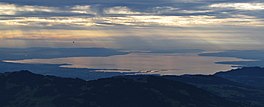
 View over Lake Constance's Obersee from Winterstaude mountain at dusk | |
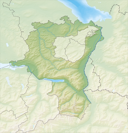
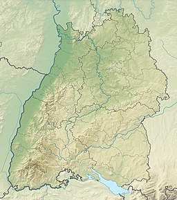
| Location | Tripoint of Germany, Austria and Switzerland |
| Coordinates | 47°37′N 9°26′E / 47.61°N 09.44°E |
| Primary inflows | Alpine Rhine, Bregenzer Ach, Argen, Alter Rhein (Fußacher Durchstich), Schussen, Dornbirner Ach, Seefelder Aach, Rotach, Stockacher Aach and smaller streams |
| Primary outflows | Seerhein |
| Max. length | 63 kilometres (39 mi)[1] |
| Max. width | 14 kilometres (8.7 mi)[1] |
| Surface area | 472 square kilometres (182 sq mi)[2] |
| Average depth | 101 metres (331 ft)[2] |
| Max. depth | 251 metres (823 ft)[2] |
| Water volume | 47.6 cubic kilometres (11.4 cu mi)[2] |
| Shore length1 | 186 kilometres (116 mi)[2] |
| Surface elevation | 395.33 metres (1,297.0 ft) |
| Islands | Lindau, Mainau |
| Settlements | Überlingen, Meersburg, Friedrichshafen, Lindau, Bregenz, Rorschach, Konstanz |
 | |
| 1 Shore length is not a well-defined measure. | |
The Obersee (English: Upper Lake), also known as Upper Lake Constance, is the much larger of the two parts of Lake Constance, the other part being the Untersee (English: Lower Lake). The two parts are separated by the Bodanrück peninsula. The narrow, northwestern branch of Obersee is also called Überlinger See (English: Lake Überlingen).
- ^ a b Dokumentation von Zustand und Entwicklung der wichtigsten Seen Deutschlands: Teil 10 Baden-Württemberg (pdf; 411 KB)
- ^ a b c d e Gestalt und Funktionen des Bodensees und seines Einzugsgebietes. In: Internationale Gewässerschutzkommission für den Bodensee (publishers): Der Bodensee: Zustand - Fakten - Perspektiven. 1st edition. Bregenz, 2004, ISBN 3-902290-04-8, pp. 8-11 (pdf; 1.1 MB).


