| Old Mill Creek | |
|---|---|
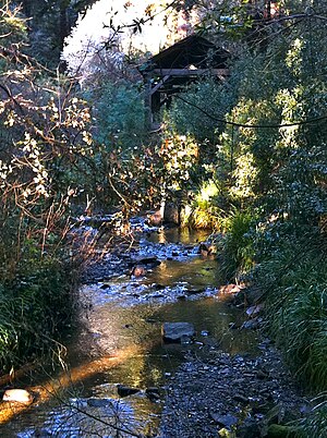
 Old Mill Creek in Old Mill Park (replica of Old Mill in background) in Mill Valley, California | |
| Location | |
| Country | United States |
| State | California |
| Region | Marin County |
| City | Mill Valley, California |
| Physical characteristics | |
| Source | South flank or Mount Tamalpais East Peak |
| • location | 2.0 mi (3 km) northwest of Mill Valley, California |
| • coordinates | 37°55′19″N 122°34′26″W / 37.92194°N 122.57389°W[1] |
| • elevation | 1,432 ft (436 m) |
| Mouth | Confluence with Arroyo Corte Madero del Presidio |
• location | Mill Valley, California |
• coordinates | 37°54′18.73″N 122°32′47.92″W / 37.9052028°N 122.5466444°W[1] |
• elevation | 17 ft (5.2 m) |
| Basin features | |
| Tributaries | |
| • left | Cascade Creek |
Old Mill Creek is a 2.3-mile-long (3.7 km)[2] year-round stream in southern Marin County, California, United States. Old Mill Creek is a tributary to Arroyo Corte Madera del Presidio, which, in turn, flows to Richardson Bay at Mill Valley's municipal Bayfront Park and 106 acres (0.43 km2) Bothin Marsh.
- ^ a b U.S. Geological Survey Geographic Names Information System: Old Mill Creek
- ^ U.S. Geological Survey. National Hydrography Dataset high-resolution flowline data. The National Map Archived 2012-03-29 at the Wayback Machine, accessed March 9, 2011
