| Otway Basin | |
|---|---|
| Coordinates | 38°S 141°E / 38°S 141°E |
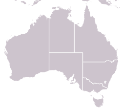
| Region | Southeastern South Australia and Southwestern Victoria |
| Country | Australia |
| State(s) | South Australia and Victoria |
| Characteristics | |
| On/Offshore | Both |
| Part of | Australian Southern Rift System |
| Area | 150,000 km2 |
| Geology | |
| Basin type | rift basin |
| Age | Jurassic – late Cretaceous |
| Stratigraphy | Crayfish, Eumeralla, Shipwreck, Sherbrook, Wangerrip, Nirranda, Heytesbury, & Whalers Bluff Groups |
| Faults | Tartwaup-Mussel & Avoca-Sorell Fault Systems |
| Field(s) | Minerva, Casino, Geographe, & Thylacine Gas Fields |
The Otway Basin is a northwest trending sedimentary basin located along the southern coast of Australia. The basin covers an area of 150,000 square kilometers and spans from southeastern South Australia to southwestern Victoria, with 80% lying offshore in water depths ranging from 50-3,000 meters.[1] Otway represents a passive margin rift basin and is one of a series of basins located along the Australian Southern Rift System. The basin dates from the late Jurassic to late Cretaceous periods and formed by multi-stage rifting during the breakup of Gondwana and the separation of the Antarctic and Australian plates.[2] The basin contains a significant amount of natural gas and is a current source of commercial extraction.[3]
- ^ "Regional Geology of the Otway Basin".
- ^ "Otway Basin". www.ga.gov.au. 15 May 2014. Retrieved 16 April 2019.
- ^ "Otway Basin South Australia". Beach Energy. Retrieved 16 April 2019.
