Pajala Airport | |||||||||||
|---|---|---|---|---|---|---|---|---|---|---|---|
 | |||||||||||
 | |||||||||||
| Summary | |||||||||||
| Airport type | Public | ||||||||||
| Operator | Pajala Municipality | ||||||||||
| Location | Pajala, Norrbotten, Sweden | ||||||||||
| Elevation AMSL | 542 ft / 165 m | ||||||||||
| Coordinates | 67°14′44″N 023°04′08″E / 67.24556°N 23.06889°E | ||||||||||
| Website | www | ||||||||||
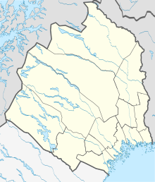
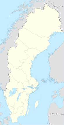
| Map | |||||||||||
 | |||||||||||
| Runways | |||||||||||
| |||||||||||
| Statistics (2016) | |||||||||||
| |||||||||||
Pajala Airport (IATA: PJA, ICAO: ESUP) is an airport in Pajala, Sweden. While the English name is the official name, it may also be referred to in Swedish as Pajala flygplats.

