Paju
파주시 | |
|---|---|
| Korean transcription(s) | |
| • Hangul | 파주시 |
| • Hanja | 坡州市 |
| • Revised Romanization | Paju-si |
| • McCune–Reischauer | P'aju-si |
 Rail line crossing the Imjin River | |
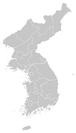
 Location in South Korea | |
| Coordinates: 37°52′N 126°48′E / 37.867°N 126.800°E | |
| Country | |
| Region | Gyeonggi Province (Sudogwon) |
| Administrative divisions | 4 eup, 9 myeon, 10 dong [2] |
| Government | |
| • mayor | Kim Gyeong-il (김경일) |
| Area | |
• Total | 672.78 km2 (259.76 sq mi) |
| Population (March 2024) | |
• Total | 520,803 [1] |
| • Dialect | Seoul |
Paju (Korean: 파주; Korean pronunciation: [pʰɐ.d͡ʑu.]) is a city in Gyeonggi Province, South Korea. Paju was made a city in 1997; it had previously been a county (gun).[3]
The city area of Paju is 672.78 km2 (259.76 sq mi),[4] and it is located just south of Panmunjeom on the 38th parallel. In 2024, the population of Paju was over 501,000.[4] To defend the South Korean capital, Seoul, many U.S. and South Korean Army bases are set up in the area.[5] In 2002, the northernmost South Korean railway station, Dorasan, was opened, on Gyeongui Line. North Korean territory and the city Kaesong can be seen from Paju's mountain Dorasan.
- ^ script-title=ko:파주시 통계홈페이지
- ^ script-title=ko:파주시 행정구역현황
- ^ Welcome to Paju City Archived 2010-06-12 at the Wayback Machine
- ^ a b "Paju (Gyeonggi-do Province)." Naver Encyclopedia of Knowledge. Naver, 2015. 4 Mar. 2016.
- ^ "South Korea's Paju Thrives Near the DMZ", WSJ 12 December 2012, retrieved 4 March 2015


