This article needs additional citations for verification. (July 2020) |
| Palani Hills | |
|---|---|
 | |
| Highest point | |
| Elevation | 2,533 m (8,310 ft) |
| Coordinates | 10°12′N 77°28′E / 10.200°N 77.467°E |
| Geography | |
 | |
| Location | Tamil Nadu, India |
| Parent range | Western Ghats |
| Climbing | |
| Easiest route | Laws Ghat Road |
| Palani Hills Wildlife Sanctuary and National Park (proposed) | |
|---|---|
| Kodaikanal Wildlife Sanctuary | |
The Palani Hills | |
| Location | Dindigul district, Tamil Nadu Idukki district Kerala, India |
| Nearest city | Kodaikanal |
| Coordinates | 10°14′43″N 77°31′26″E / 10.24528°N 77.52389°E |
| Area | 736.87 square kilometres (284.51 sq mi) |
| Governing body | Tamil Nadu Forest Department |
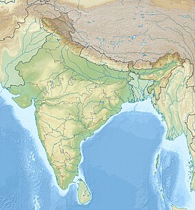
The Palani Hills are a mountain range in the southern Indian states of Tamil Nadu and Kerala. The Palani Hills are an eastward extension of the Western Ghats ranges, which run parallel to the west coast of India. The Palani Hills adjoin with the high Anamalai range on the west and extend east into the plains of Tamil Nadu, covering an area of 2,068 square kilometres (798 sq mi). The highest part of the range is in the southwest, and reaches 1,800-2,500 metres (5,906-8,202 feet) elevation; the eastern extension of the range is made up of hills 1,000-1,500 m (3,281-4,921 ft) high.[1]
It is also home to the main temple of Murugan, who is worshipped as a major deity in Tamil Nadu.
The Palani Hills Wildlife Sanctuary and National Park is a proposed protected area in Dindigul District, Tamil Nadu. The park will be an upgrade and expansion of the 736.87 km2 (284.51 sq mi) Palani Kodaikanal Wildlife Sanctuary which was to be established in 2008.[2][3][4] The park includes about 36% of the 2,068 km2 (798 sq mi) in the Palani Hills. The park is located between latitude 10°7'–10°28' N and longitude 77°16'–77°46' E. Central location is 1.5 kilometres (0.93 mi) east northeast of Silver Cascade Waterfall and 4 km (2.5 mi) E X NE of Kodaikanal Lake.
- ^ R. P. Singh, Zubairul Islam. Environmental Studies. Concept Publishing Company. p. 172. ISBN 978-81-8069-774-6. Retrieved 18 November 2012.
- ^ National Wildlife Data Center (2006). "List of Proposed Wildlife Sanctuaries in India". Wildlife Institute of India. Retrieved 26 March 2007.
- ^ "1.5.3. Biodiversity Conservation, Landscape and Protected Areas Management" (PDF). Policy note 2006-2007. Vol. Demand 15. Tamil Nadu Ministry of Forests and Environment. Archived from the original on 9 April 2009. Retrieved 12 July 2020.
- ^ "Call for protection of Palani hills". The Hindu. 2006. Retrieved 12 July 2020.
