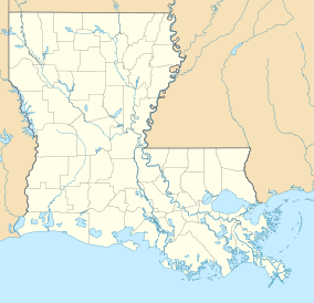
| Pass a Loutre Wildlife Management Area | |
|---|---|
IUCN category V (protected landscape/seascape) | |
| Location | Plaquemines Parish, Louisiana |
| Coordinates | 29°7′7″N 89°12′21″W / 29.11861°N 89.20583°W |
| Area | 115,000 acres (470 km2) |
| Established | Nov. 1, 1921 |
| Governing body | Louisiana Department of Wildlife and Fisheries |
| www | |
Pass a Loutre Wildlife Management Area (WMA) is a 115,000-acre (47,000 ha)[1] protected wetland in Plaquemines Parish, Louisiana, United States. The WMA is located due south and bordering the 48,000 acre Delta National Wildlife Refuge, accessible only by air or boat, contains the Pass A L'Outre Lighthouse (29°11′26.6″N 89°2′29.3″W / 29.190722°N 89.041472°W), and Port Eads is within the boundary.
- ^ "Pass-a-Loutre". Louisiana Department of Wildlife and Fisheries. Retrieved 2024-04-17.

